SIG And SIG-NALS Latest Newsletter Is Online

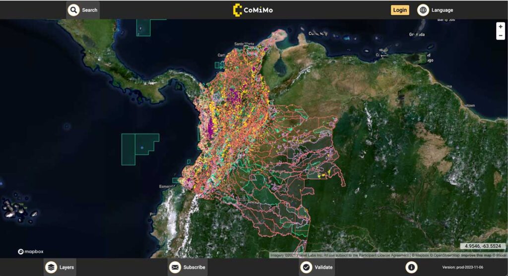
SIG co-developed software to remotely monitor gold mining activity in Colombia. Illegal mining is a driver of deforestation and this project aims to empower authorities to respond quickly and appropriately. CoMiMo, which is available for desktop in both English and Spanish, uses satellite imagery and artificial intelligence to identify threatened areas.
Pinchot Institute Works With SIG

SIG co-developed software to remotely monitor gold mining activity in Colombia. Illegal mining is a driver of deforestation and this project aims to empower authorities to respond quickly and appropriately. CoMiMo, which is available for desktop in both English and Spanish, uses satellite imagery and artificial intelligence to identify threatened areas.
SIG Presents LiDAR Based Projects In Tahoe

SIG co-developed software to remotely monitor gold mining activity in Colombia. Illegal mining is a driver of deforestation and this project aims to empower authorities to respond quickly and appropriately. CoMiMo, which is available for desktop in both English and Spanish, uses satellite imagery and artificial intelligence to identify threatened areas.
Carbon Dioxide Emissions Calculations For Forest Biomass Energy Projects Are Dependent Upon Regionally-Specific Conditions

An issue brief recently released by the Natural Resource Defense Council (NRDC) highlighted the importance of regional studies of biomass energy development. The brief relied on a model developed by the Spatial Informatics Group (SIG) to assess the lifecycle greenhouse gas emissions of energy derived from forest biomass in a nine-state region of the southeast United States. The model built on prior work conducted on behalf of the Southern Environmental Law Center and the National Wildlife Federation in 2012.
Spatial Informatics Group (SIG) And The University Of Vermont (UVM) Team Up To Demonstrate Small Unmanned Aircraft System (SUAS) Remote Sensing Capabilities In The Lake Tahoe Region

SIG co-developed software to remotely monitor gold mining activity in Colombia. Illegal mining is a driver of deforestation and this project aims to empower authorities to respond quickly and appropriately. CoMiMo, which is available for desktop in both English and Spanish, uses satellite imagery and artificial intelligence to identify threatened areas.
New Report Reveals Wildfire Is Not Just A Public Lands Issue

SIG co-developed software to remotely monitor gold mining activity in Colombia. Illegal mining is a driver of deforestation and this project aims to empower authorities to respond quickly and appropriately. CoMiMo, which is available for desktop in both English and Spanish, uses satellite imagery and artificial intelligence to identify threatened areas.
SIG Participates In The 6th International Wildland Fire Conference, Pyeongchang, Korea

SIG co-developed software to remotely monitor gold mining activity in Colombia. Illegal mining is a driver of deforestation and this project aims to empower authorities to respond quickly and appropriately. CoMiMo, which is available for desktop in both English and Spanish, uses satellite imagery and artificial intelligence to identify threatened areas.
Low-Risk Bioenergy Can Be A Critical Climate Solution

A group of bioenergy experts, including several members of the SIG Team, are pushing for its use to comply with the newly final Clean Power Plan claiming low-risk versions of the energy source offer a host of benefits ranging from reducing greenhouse gas emissions to restoring degraded lands. Read their full opinion piece here.
Planning And Implementing Fuel Treatments To Reduce Fire Hazard And Restore Healthy Wildlands And Forest Communities

California landowners, land managers, and planners are acutely aware of their region’s exposure to wildfire and its associated hazards. Local, state, and federal efforts to moderate fire behavior with fuel treatments have dramatically expanded as wildfires have increased in size, severity, and community impacts.
Cultivating Success: Cambodia’s Crop Mapping Powered By Tensorflow And Google Earth Engine

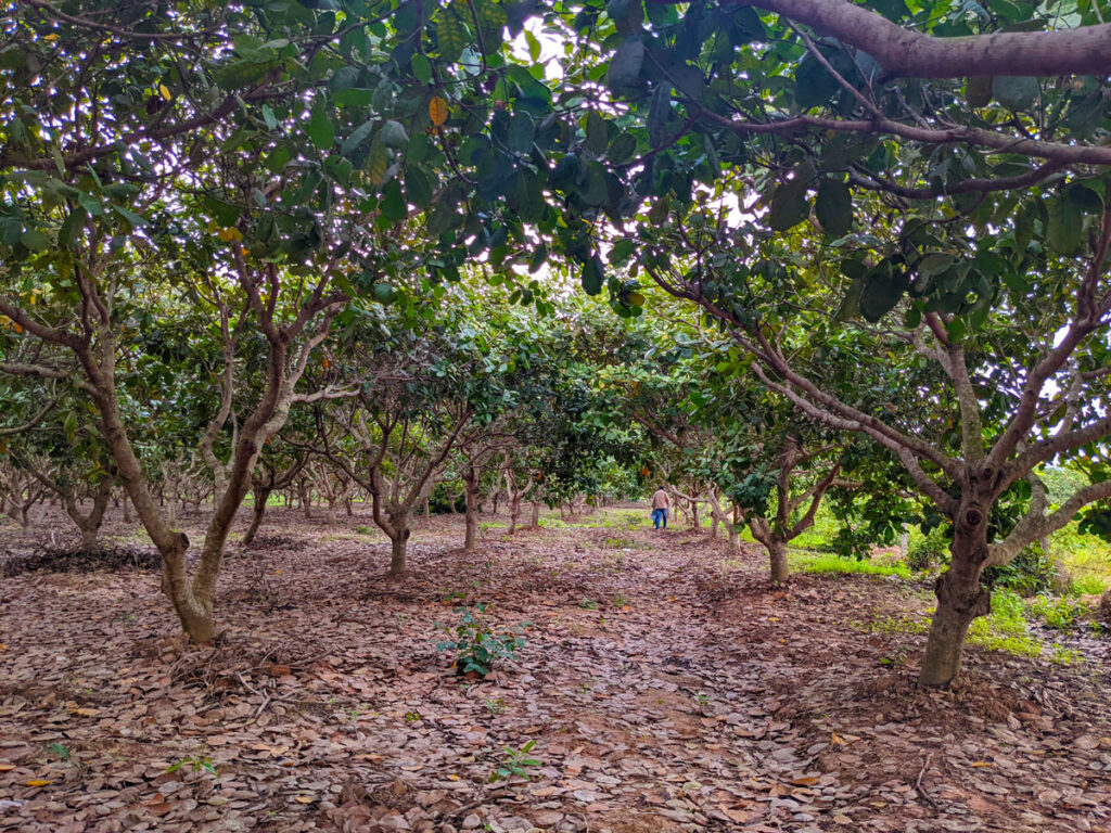
To ensure that the initiatives developed adequately addressed Cambodia’s needs, SIG teams worked closely with the Cambodian Department of Agriculture and Land Resource Management (DALRM), identifying gaps in the existing data and developing a remote sensing-based approach to improve existing methods of crop mapping.
