Countywide Fire Road Inventory and Assessment

Marin County encompasses an unusually diverse landscape of redwood and Douglas-fir forests, oak woodlands, chaparral, coastal grasslands, estuaries, and developed communities. Its extensive open spaces are managed by federal, state, county, municipal, and local entities
Driving Impact with Earth Observation Foundation Models
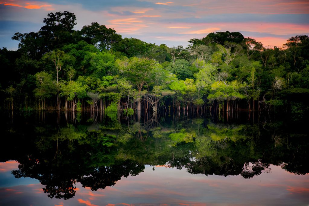
Followers of environmental issues in the Amazon scarcely go a week without seeing news about threats to the biome. The region has been devastated with countless and constant hazards. For example, each year it experiences natural hazards like wetland degradation, salinization, destructive flooding, and severe fires, all compounded by climate change.
UK Net Zero of Bioenergy

New analysis finds that a UK BECCS system based on wood pellets supplied from
Drax pellet mills in the southern US would increase, rather than decrease, levels
of atmospheric CO2e compared to a scenario without the UK BECCS system, until approximately 2053.
Biophysical M&E Dashboard
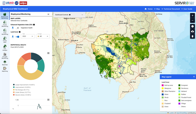
In support of USAID’s initiative to monitor and evaluate land cover change in Cambodia, Spatial Informatics Group and SERVIR SEA created an application powered by Google Earth Engine to allow the nation to track progress on various conservation projects.
Greenline Climate
Greenline Climate is a joint venture of SIG Carbon that provides development services for forest carbon credit projects, in particular those that reduce emissions and mitigate the effects of climate change.
Fire Factor
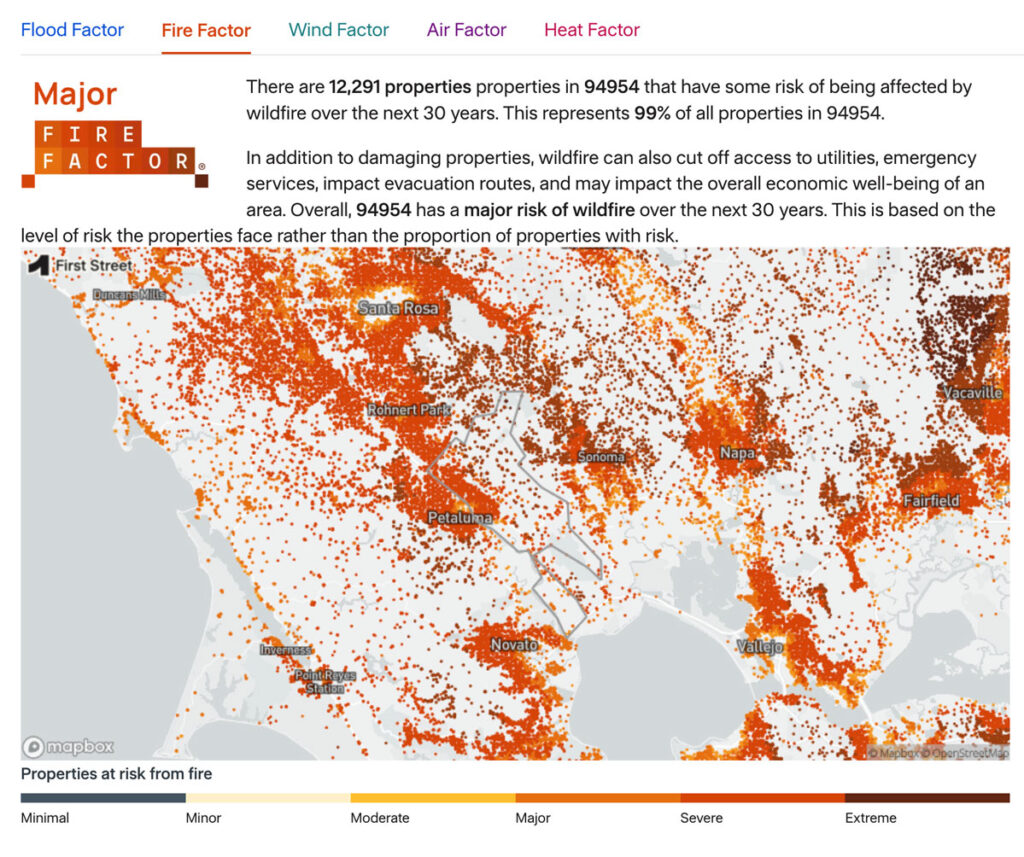
As part of the Pyregence Consortium, Spatial Informatics Group partnered with the risk analysis firm First Street Foundation to create a property-level wildfire risk model for every property in the conterminous United States. The First Street Foundation Wildfire Model (FSF-WFM) is the first national, climate-adjusted, property-specific wildfire risk assessment in America. FSF-WFM informs Fire Factor, First Street Foundation’s fire risk data product.
Mekong Drought & Crop Watch
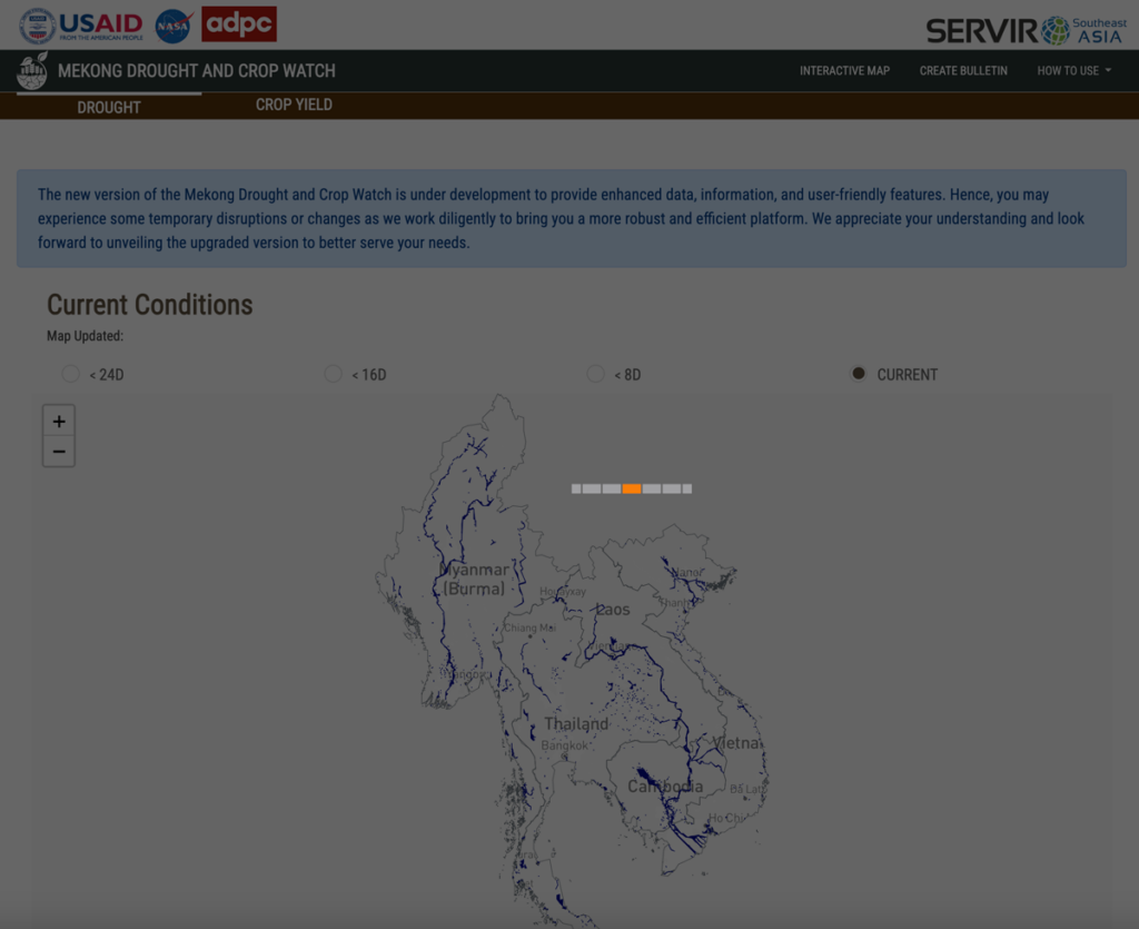
Working with SERVIR-SEA, SIG co-developed a tool in Google Earth Engine to monitor and respond to drought events in the Lower Mekong, as well as tools to plan and model agricultural decisions in the region. The freely accessible tool is open source and adaptable to different use cases, minimizing risk and cost during drought events.
Biophysical Monitoring and Evaluation Dashboard
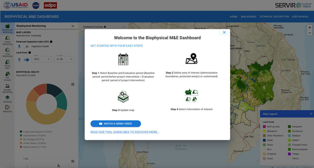
In support of USAID’s initiative to monitor and evaluate land cover change in Cambodia, Spatial Informatics Group and SERVIR SEA created an application powered by Google Earth Engine to allow the nation to track progress on various conservation projects.
HYDRAFloods
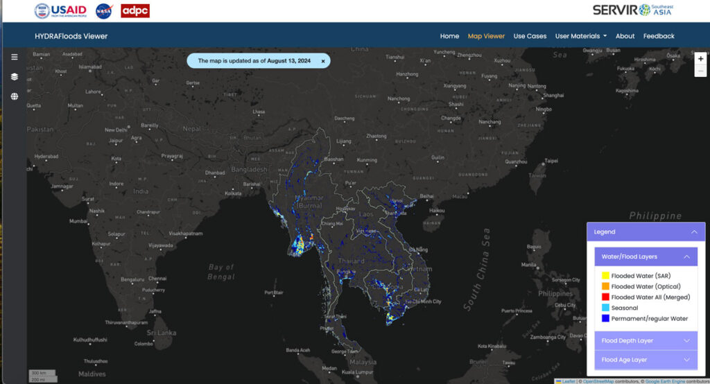
As part of SERVIR-SEA and with the Asian Disaster Preparedness Center (ADPC), SIG developed HYDRAFloods, public access flood monitoring software that detects flood events in near real-time through the use of satellite data. Artificial intelligence tools within Google Earth Engine make the program even better at detecting surface water levels, speeding up the process to keep people safe.
TerraOnTrack
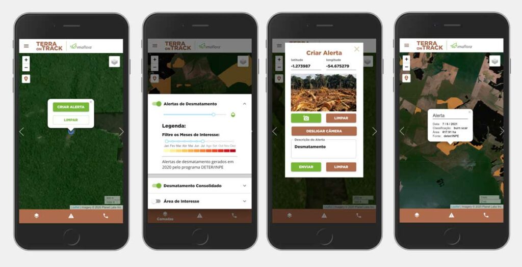
Spatial Informatics Group, with partners SERVIR-SEA and Imaflora and support from NASA and USAID, created an application that allows traditional and indigenous communities in Brazil to access a wealth of information about the territories they call home. From deforestation threats to illegal activity warnings, communities can use TerraOnTrack to monitor potential problems in near-real time, upload additional information, and make informed decisions about their land.