Close
Close
Case Study
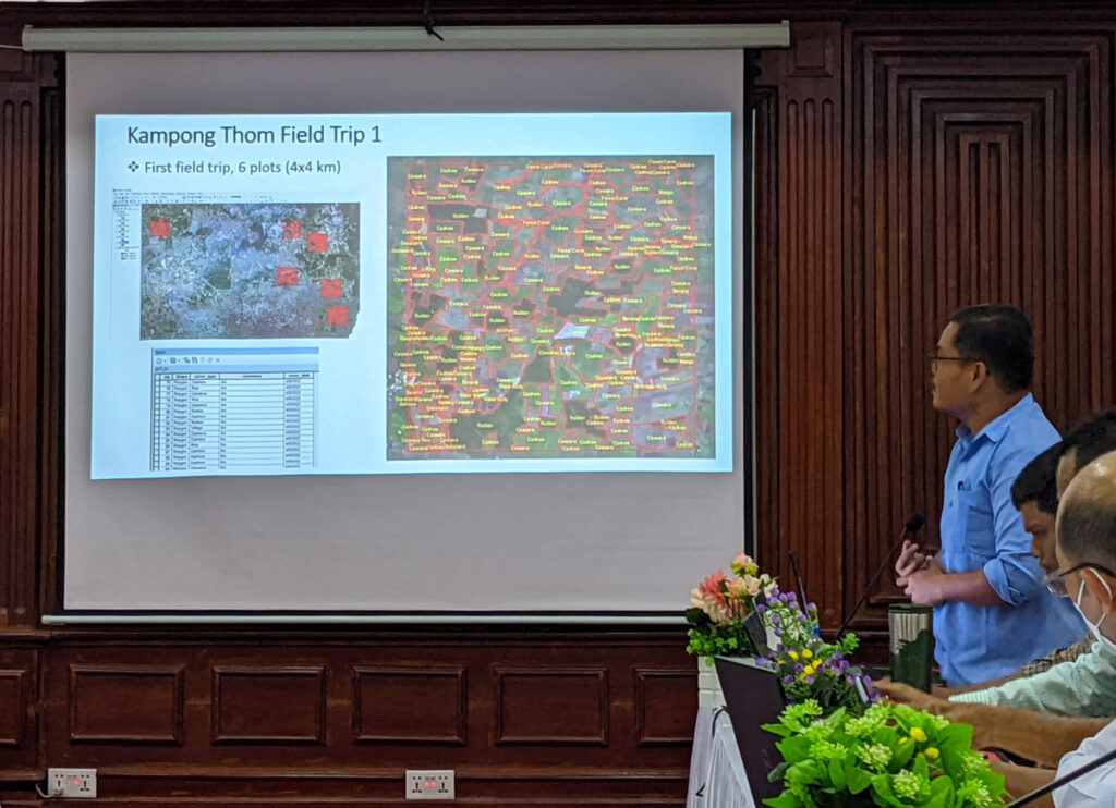
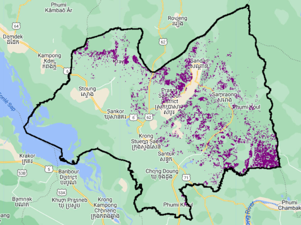
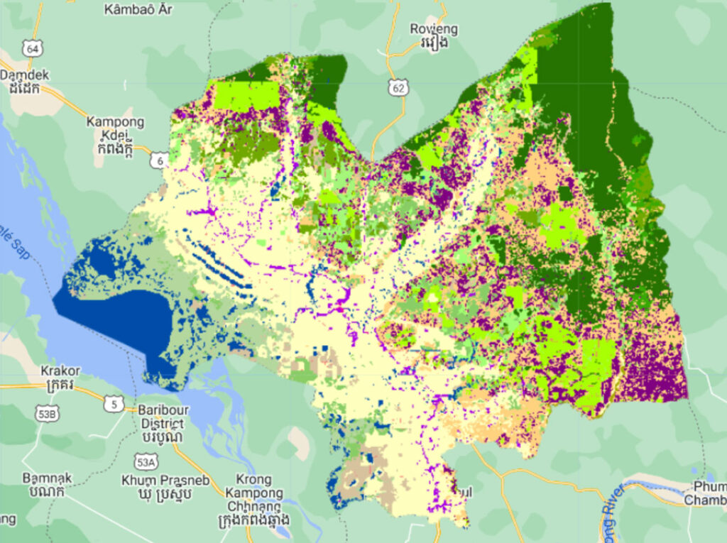
Under the Paris Agreement’s Enhanced Transparency Framework (ETF), Cambodia, like all other nations, is required to create high-resolution land use maps to monitor their agricultural practices.
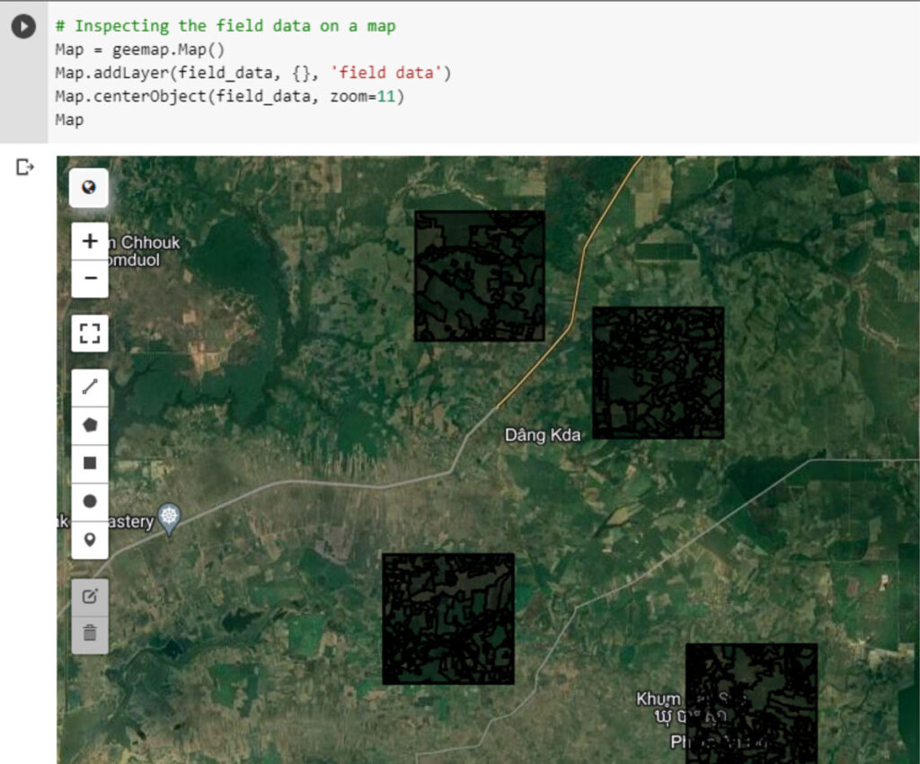
Working with SilvaCarbon and the Food and Agriculture Organization, Spatial Informatics Group developed a machine learning model with TensorFlow, Google’s suite of open source AI technology. The software is used to manage progress in the agricultural sector, and to improve policy and planning.
