
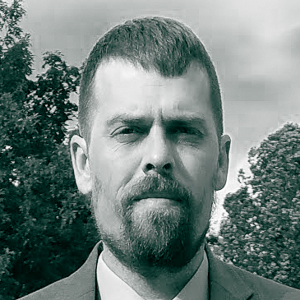
Aron Boettcher is a Data Scientist and Solutions Expert at Spatial Informatics Group, where he develops geospatial solutions for wildfire risk, land-cover and land-use mapping, forest carbon, and climate resilience. His work combines remote sensing, machine learning, and ecological analysis to turn complex spatial data into practical tools for public agencies, researchers, businesses, and communities.
Before joining SIG, Aron co-founded Wuuii, where he led research and product development focused on wildfire risk and the built environment. He previously worked at NV5 Geospatial as a technical lead and subject-matter expert in land cover, water analytics, urban forestry, forest biometrics, and biomass estimation. His projects have included statewide irrigated-landscape analysis in California, forest-carbon inventories, and individual-tree mapping using LiDAR and imagery.
Aron is also a founding member of Collaborative Earth and leads its Global Forests Lab, which studies how wildfire and other disturbances affect forest recovery, biomass, and carbon storage. His research has been published in Biogeochemistry and presented at the American Geophysical Union, the American Association of Geographers, and ForestSAT.
He holds a B.S. in Botany from Humboldt State University and brings an interdisciplinary background spanning ecology, geospatial science, applied research, and technical leadership.