Verify Illegal Activity From a Distance
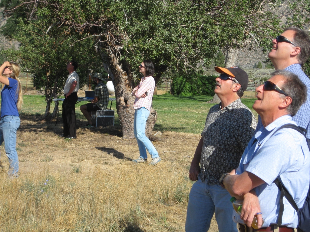
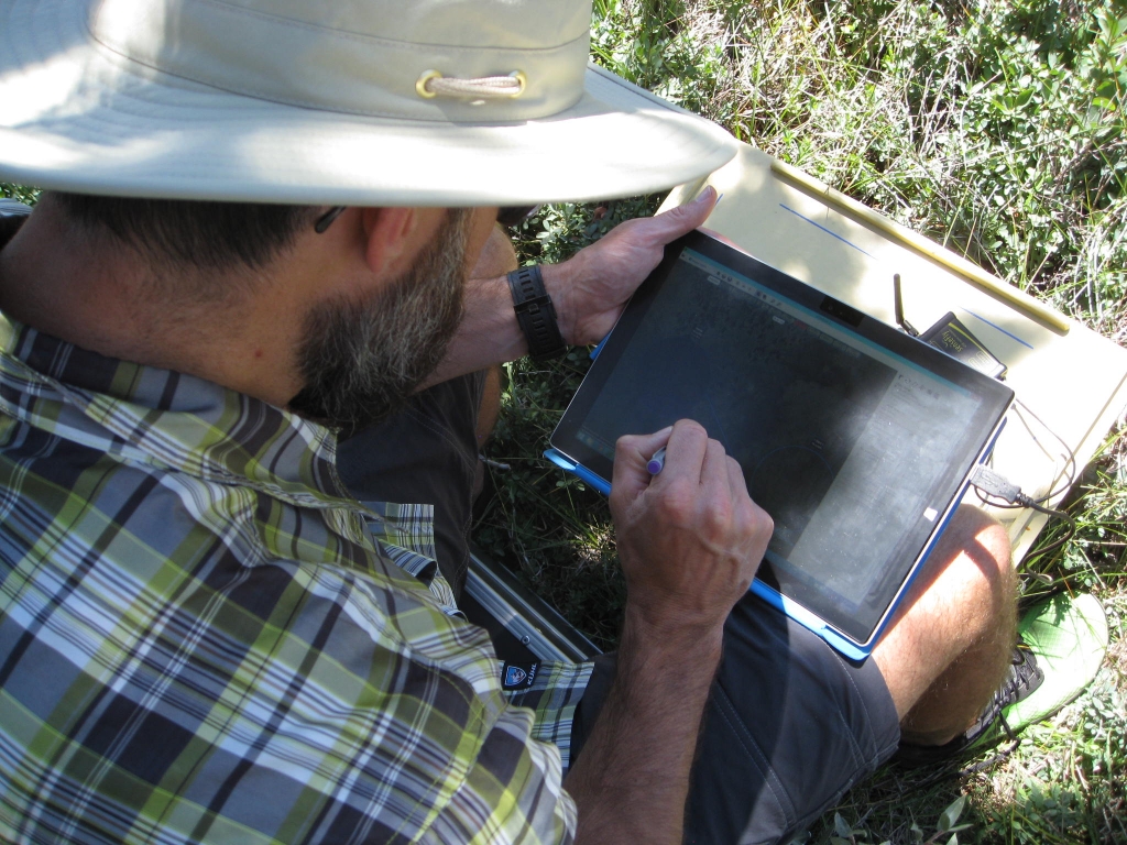
Jarlath O’Neil-Dunne, Shane Romsos, Gary Roller, Travis Freed and Matt Bansak from SIG and UVM just finished three days in the Lake Tahoe Region meeting with local agencies and university students to field demonstrate the capabilities of sUAS. A sUAS is a light-weight (< 3 lbs) drone that is equipped with a digital camera, a GPS receiver and other on-board flight control sensors. The on-board camera captures high-resolution (~3.5 cm) imagery that after post-flight processing can be transformed into accurate 2D orthomosaics & 3D models of a project area which can then be used to pull out on-the-ground features of interest. While in the Tahoe Region, the team flew 14 missions to explore the systems application for detecting aquatic invasive species and attached algae in Lake Tahoe’s nearshore, transportation corridor characterization, wetland delineation, topography modeling and stream restoration characterization and effectiveness monitoring.

