Close
Close

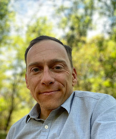
Paul Lackovic is a Geospatial Analyst on the Natural Hazards Team at Spatial Informatics Group. He has extensive knowledge of incident GIS and wildland fire operations.
Paul worked as a GIS technician in the natural resources field before beginning a career in wildland fire in 2012. As a National Wildfire Coordinating Group qualified Geographic Information Systems Specialist (GISS), he has provided support to federal and state incident management teams on over 40 major wildland fires. He has also worked extensively on wildland fire mitigation projects as a geospatial analyst and project manager on community wildfire protection plans, parcel-level hazard assessments, pre-attack maps, and more. Paul’s relationship with fire is also personal: in 2018 he lost his home in Paradise, California, to the Camp Fire. Since then he has committed himself to helping restore healthy, fire-adapted ecosystems and helping communities learn to live with fire.
Paul holds a bachelor’s in Geography and Political Science from the State University of New York–Geneseo.