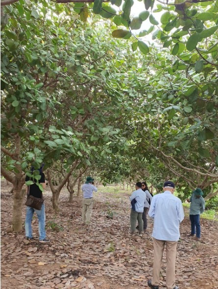
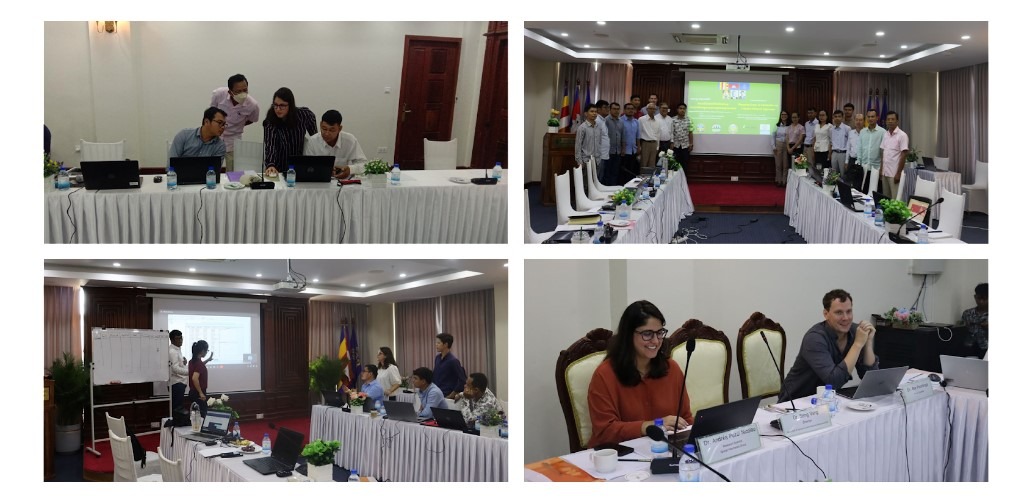
To ensure that the initiatives developed adequately addressed Cambodia’s needs, SIG teams worked closely with the Cambodian Department of Agriculture and Land Resource Management (DALRM), identifying gaps in the existing data and developing a remote sensing-based approach to improve existing methods of crop mapping. The initial consultation between SIG and the DALRM revealed the need to emphasize the mapping of economically valuable crops, such as cashews and mangos, in order to increase the productivity and profitability of Cambodia’s agricultural sector, as well as to more accurately report agricultural greenhouse gas emissions. In response to user need, a team from Spatial Informatics Group (SIG) developed a machine-learning workflow based on Google’s software library TensorFlow that is capable of analyzing satellite imagery to create detailed crop maps at a fast pace and low cost. Turning to the Google Cloud Platform, SIG team members trained Cambodian officials in effectively using Google Earth Engine tools to conduct geospatial data analyses and access libraries of helpful satellite images and data. After establishing a more efficient crop mapping system catered to the Cambodian government’s needs and implementing the use of Google Cloud storage for finished mapping models, SIG’s team members provided consistent support in the development of new crop mapping models using Keras, a TensorFlow-based library. Online training, in-person meetings, and weekly consultations with members of the DALRM were coordinated. SIG also provided capacity building training intended to help users become familiar and confident with machine learning, specifically with Neural Network Models on Keras, and created a
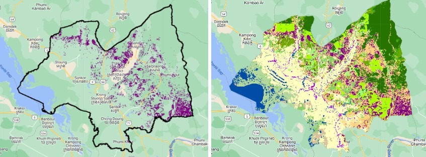
training website of detailed instructions for various crop mapping tools. Said Chaya Veasna, a member of the DALRM, “Google Earth Engine has been very valuable for our office at the Cambodian Department of Agricultural Land Resources Management. Its powerful features enable us to monitor forests, analyze land use, and generate agricultural maps, including the recent achievement of mapping our national cashew cover.
Before the introduction of this cloud computing workflow in GEE, it took our team a year to update the land cover map for just one province. After our team of four were trained on this workflow, we were able to map cashew plantations across 25 provinces, approximately 400,000 hectares of this important crop.”