Case Study
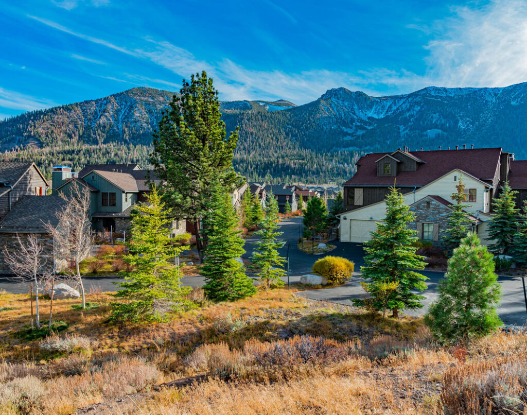
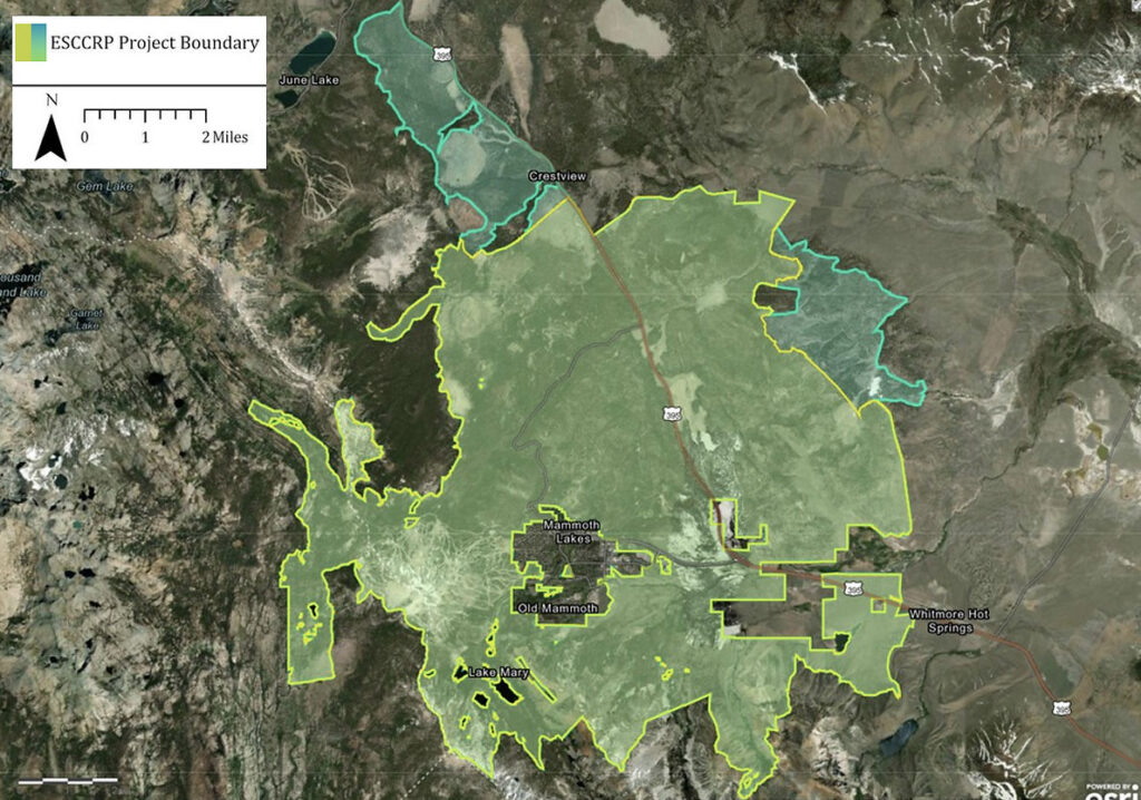
The 58,000-acre Eastern Sierra Climate & Communities Resilience Project (ESCCRP) seeks to build resilience to catastrophic wildfire impacts in and around the mountain community of Mammoth Lakes, CA. Its objective is to restore ecosystem health through increased pace and scale of science-based forest restoration treatments.
ESCCRP is spearheaded by the USDA Forest Service, specifically the Inyo National Forest, along with numerous state and local governments and NGOs. SIG was hired to assist with ESCCRP because of our scientific and operational experience and expertise in fire modeling, land restoration, and maintenance.
The forests in the Sierra Nevada are the product of well over a century of anthropogenic influences that have led to a dangerous situation. In particular, fire suppression has created nearly explosive forests filled with ladder fuels, and climate change has increased the likelihood that fires will start and grow. And increased human population in those forestlands means that when fires do start they can be far more costly and destructive of life and property than ever before.
Accordingly, communities in the Eastern Sierra sought to change trajectories and return their forestlands to the more resilient structures and densities that were the norm under indigenous fire management practices. Doing so would permit the communities to reintroduce prescribed fire as a tool for forest health, further building wildfire resilience.
Because landscape-scale restoration is an ongoing endeavor and requires significant resources from multiple entities, informed, context-appropriate prioritization is a critical step in creating an intelligent strategy to meet project goals.
In each tier the team identified and met with key stakeholders who provided data for high value assets and resources. This data, combined with SIG’s modeled wildfire behavior was used to identify areas of both high importance and high wildfire hazard.
SIG’s role in ESCCRP helped the project improve resiliency in the forested landscape around Mammoth Lakes to many current and future threats. Besides avoiding high severity fire, interventions are designed to strengthen the landscape in the face of extended drought, mass beetle outbreaks, and changes in precipitation levels and seasonality.
In human terms, the project reduces risk for the town and gives firefighters tactical options as they confront increasingly complex and challenging wildfires.