Case Study
See the study here:
Marin County, just north of San Francisco in the San Francisco Bay Area, is a mix of urban and suburban development, agriculture (in particular pasture), and managed wildlands. The county depends on healthy forest ecosystems for its water supply and recreational opportunities, but is also susceptible to wildfires.
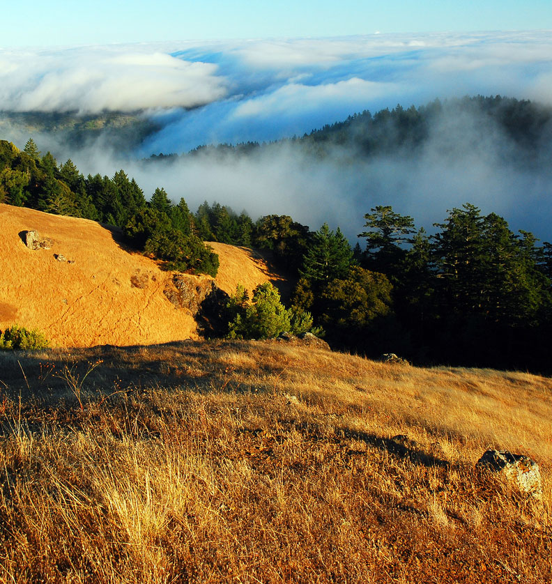
Active wildfire suppression over the past century has left much of Marin’s forest and woodland severely overcrowded and dense. This accumulation of excess woody biomass creates forest densities outside of historic norms, greatly increasing the risk of high-severity wildfire.
Additionally, Marin County is proactively responding to the effects of climate change–principally longer, drier summers and more intense winter rainstorms. In order to do so most effectively, the county needed better baseline data and analysis of the greenhouse gas emissions implications of different ways to use biomass removed from different ecotypes in the county.
In particular, Marin agencies were looking for ways to leverage and expand existing fuels reduction and landfill diversion initiatives by developing utilization pathways for these materials. Potential feedstocks range from woody biomass generated by woodland thinning and landscape trimmings to source-separated and mixed organic streams generated by the collection of metropolitan wood debris, food scraps, yard materials, and agricultural biomass.
The Marin Resource Conservation District turned to Spatial Informatics Group to conduct an inventory of the county’s vegetation and land cover and then to investigate the greenhouse gas implications of different ways of using biomass in Marin.
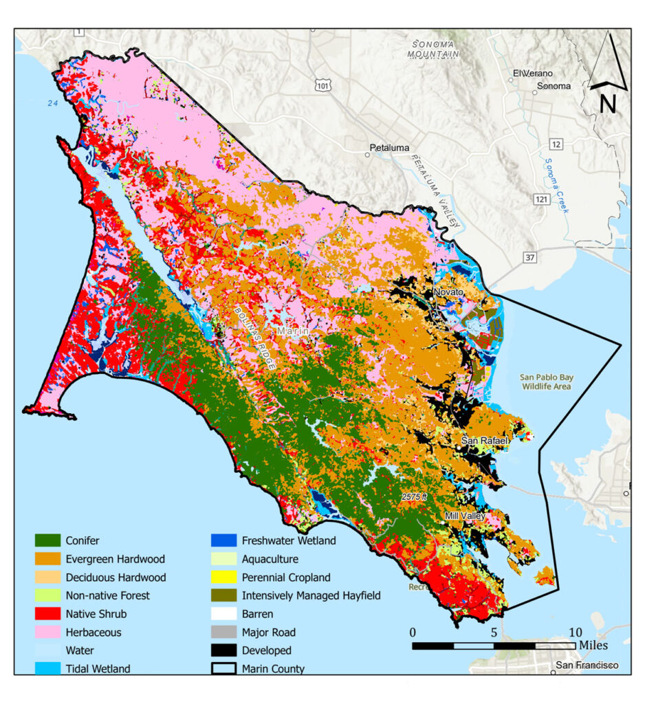
SIG’s scientists performed a geospatial classification of Marin County ecotypes, then undertook a deep dive into four biomass utilization pathways that had been previously identified. We performed greenhouse gas life cycle assessments of each pathway, analyzed county-wide soil carbon inventory, and undertook a forest carbon stock and sequestration analysis that included an avoided wildfire emissions analysis.
The key land cover types were Agriculture, Forest (Conifer and Hardwood), Herbaceous, Other Forest, Shrub, and Urban Land Cover. Woody biomass availability within a region is typically dependent upon land management activities within forestland and woodlands dominated by conifer and hardwood vegetation cover.
Approximately 33% (116,781 acres) of Marin County is forested, the vegetation cover type most likely to be the focus of fuels reduction activities. Forests in Marin store around 14 million Mg (metric tonnes) of carbon, about half of it below ground, making them an important carbon sequestration tool.
The four biomass utilization pathways considered in this study were composting of green and food waste, anaerobic digestion of green and food waste for electricity production, anaerobic digestion of green waste and wood for electricity and biochar production and application, and gasification of woody biomass from forest and construction for electricity and biochar production and application.


As land managers and communities consider effective strategies to mitigate wildfire, vegetation management (reducing overstocked conditions) is a preferred mitigation technique. Reducing forest and woodland stand density, coupled with reduction of ladder fuels, is a proven way to reduce fire risk.
All four of the biomass utilization pathways we investigated would have climate benefits. But due to their different spatial and temporal characteristics, with some providing immediate, though smaller benefits, and others providing larger results but only over the long term.
All pathways yield, in addition to climate benefits, improvements in habitat, hydrology, agricultural productivity, infrastructure protection, and compliance with legal requirements.