Close
Close
Case Study
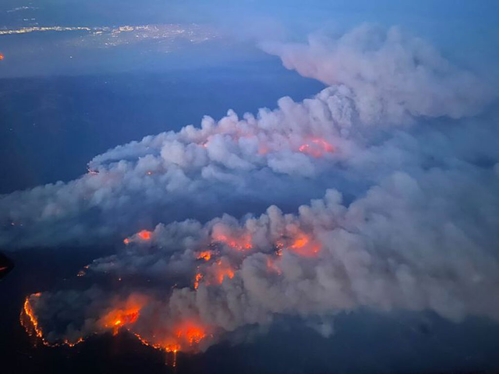
Wildfires in California are a serious and growing threat. Thanks to nearly a century of wildfire suppression combined with increased aridity and heat due to climate change, California fires are now the most destructive in the United States. Since 2017 California has seen new records in most destructive, largest, most costly, longest burning, and most intense wildfires.
An effective way to reduce wildfire incidence and severity is through treatments that reduce a forest’s fuel load and simplify its vertical structure. So massively increasing these kinds of treatments throughout California is an important priority.


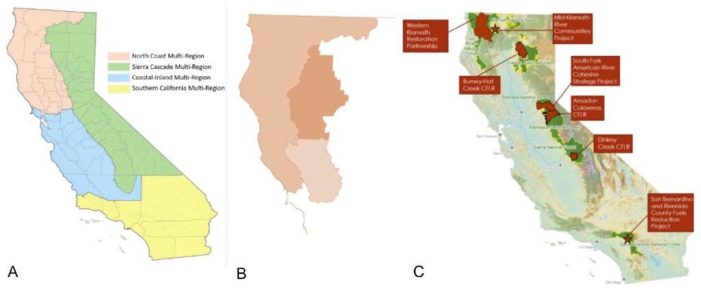
SIG’s scenario modeling includes 108 distinct treatments distributed across four focal regions: Sierra Nevada, Southern California, Central Coast, and North Coast. Modeled scenarios are appropriate to the forest types and conditions in the different regions. We tested three levels of treatment intensity, and looked at varying treatment objectives over timescales up to twenty years in the future.
We structured the relevant information as a datacube to enable these numerous avenues for exploring the information. The project also involved innovative implementations of existing tools like the USDA Forest Service’s Forest Vegetation Simulator, which SIG’s programmers turned into a microservice allowing it to be used on much larger scales than previously possible, and SIG’s own Forest Carbon Analysis Tool.
The results were used to compare the costs and benefits of different scenarios across the environmental, economic, and workforce dimensions, enabling land managers and planners to identify the best solutions for their particular contexts.
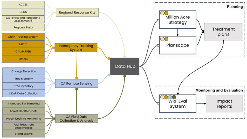
Once treatments are underway, the automated workflow for statewide treatment scenario selection we developed will provide summaries of objectives met, impacts of varying treatment scenarios, and potential workforce and funding needs to meet ecosystem resilience goals for the state of California.
The modeling framework can be used in future years to evaluate the impacts of treatments as they are implemented, to update planning goals, and to guide evolving treatment priorities to enhance science-based forest and rangeland stewardship throughout the state.
