Skip to content
SIG Spatial Informatics Group logo
  • Science Groups
    • Environmental Mapping
    • Carbon Offsets
    • Natural Hazards
    • Ecosystem Services
    • Forest & Agriculture Management
  • Solutions
    • Environmental Mapping
    • Carbon Oftsets
    • Environmental Software
    • Natural Hazards
    • Ecosystem Services
    • Forest & Agriculture Management
    • Climate Change
    • Uncrewed Aircraft Systems
  • About
    • About us
    • Contact us
    • Open Science
    • Careers
    • Privacy Policy
  • News
  • Blog
Close
Close
  • Science Groups
    • Environmental Mapping
    • Carbon Offsets
    • Natural Hazards
    • Ecosystem Services
    • Forest & Agriculture Management
  • Solutions
    • Environmental Mapping
    • Carbon Oftsets
    • Environmental Software
    • Natural Hazards
    • Ecosystem Services
    • Forest & Agriculture Management
    • Climate Change
    • Uncrewed Aircraft Systems
  • About
    • About us
    • Contact us
    • Open Science
    • Careers
    • Privacy Policy
  • News
  • Blog

Month: September 2023

Planning And Implementing Fuel Treatments To Reduce Fire Hazard And Restore Healthy Wildlands And Forest Communities

Planning And Implementing Fuel Treatments To Reduce Fire Hazard

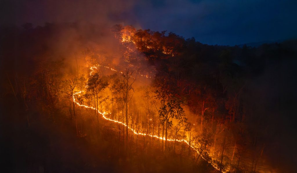
California landowners, land managers, and planners are acutely aware of their region’s exposure to wildfire and its associated hazards. Local, state, and federal efforts to moderate fire behavior with fuel treatments have dramatically expanded as wildfires have increased in size, severity, and community impacts.

Cultivating Success: Cambodia’s Crop Mapping Powered By Tensorflow And Google Earth Engine

Neural Network Crop Mapping in Cambodia

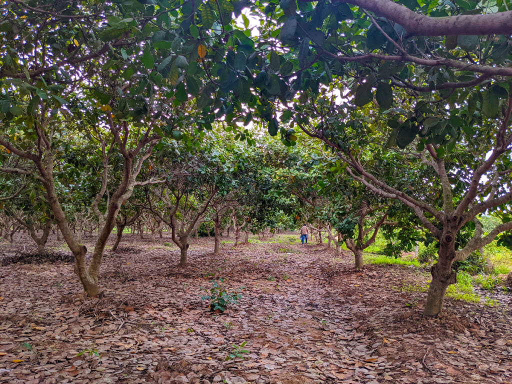
To ensure that the initiatives developed adequately addressed Cambodia’s needs, SIG teams worked closely with the Cambodian Department of Agriculture and Land Resource Management (DALRM), identifying gaps in the existing data and developing a remote sensing-based approach to improve existing methods of crop mapping.

Info

Contact Us
info@sig-gis.com
Spatial Informatics Group
2529 Yolanda Ct.
Pleasanton, CA 94566

Science Groups

Environmental Mapping
Carbon Offsets
Natural Hazards
Ecosystem Services
Forest and Agriculture Management
Environmental Software

Law

  • Privacy Policy
Spatial Informatics group - SIG
  • © Spatial Informatics Group, SIG 2024