Login
Forget?

Forget your password?
Remember Password?
  • About
    • What we do
    • Our Team
    • Where We Work
    • Project Showcase
    • Institutions
    • Career Opportunities
    • GSA
    • Client Resources
    • Media Resources
  • Services
    • Ecosystem Services
    • Environmental Mapping
    • Unmanned Aircraft
    • Sustainable Cities
    • Forests, Agriculture
    • Carbon Offsets
    • Natural Hazards
    • Climate Change
    • Water Resources
  • Blog
  • Technology

Archives

Monthly Archive for: "December, 2018"
Home » Archives for December 2018
 Hot but not Bothered: Urban Green Space Leads to Better Health, Social Benefits
  0
By Jenna Jadin
In cities, climate change, Land Cover Mapping
Posted December 14, 2018

Hot but not Bothered: Urban Green Space Leads to Better Health, Social Benefits

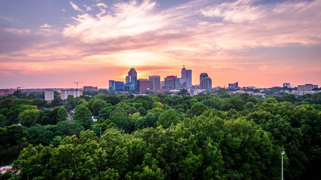
Decades of scientific research have been suggesting that humans accrue many positive benefits from nature, whether that nature be in an isolated preserve, in urban green space within the confines [...]

READ MORE
Navigation
  • About
    • What we do
    • Our Team
    • Where We Work
    • Project Showcase
    • Institutions
    • Career Opportunities
    • GSA
    • Client Resources
    • Media Resources
  • Services
    • Ecosystem Services
    • Environmental Mapping
    • Unmanned Aircraft
    • Sustainable Cities
    • Forests, Agriculture
    • Carbon Offsets
    • Natural Hazards
    • Climate Change
    • Water Resources
  • Blog
  • Technology
Contact

Spatial Informatics Group,
2529 Yolanda Ct.
Pleasanton, CA 94566

Recent Posts
  • Predicting the Future of Wildfires? It’s Complicated
    Predicting the Future of Wildfires? It’s Complicated
    May 20, 2022
  • SIG works with Google and other partners on new tools that democratize offline mapping
    SIG works with Google and other partners on new tools that democratize offline mapping
    January 13, 2022
  • Mapping Forest Degradation in Nepal with Remote Sensing
    Mapping Forest Degradation in Nepal with Remote Sensing
    July 19, 2021
Sign up for our newsletter
Copyright Spatial Informatics Group, All Rights Reserved © 2020

Start typing and press Enter to search