For Indonesia’s Wildfires, There Are No Easy Solutions
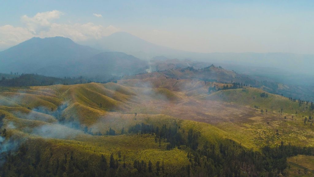
This week, we’re blogging about SIG’s work on reducing wildfire impacts in Indonesia and California. Fires in both regions have similar financial and health impacts, but differ in behavior. In Indonesia, even the ground itself can burn, requiring unique management approaches. Lessons learned in each place can inform solutions in the other.